Industry Solutions
Tailored geospatial solutions for transportation, logistics, property management, and urban planning.
Transportation & Logistics
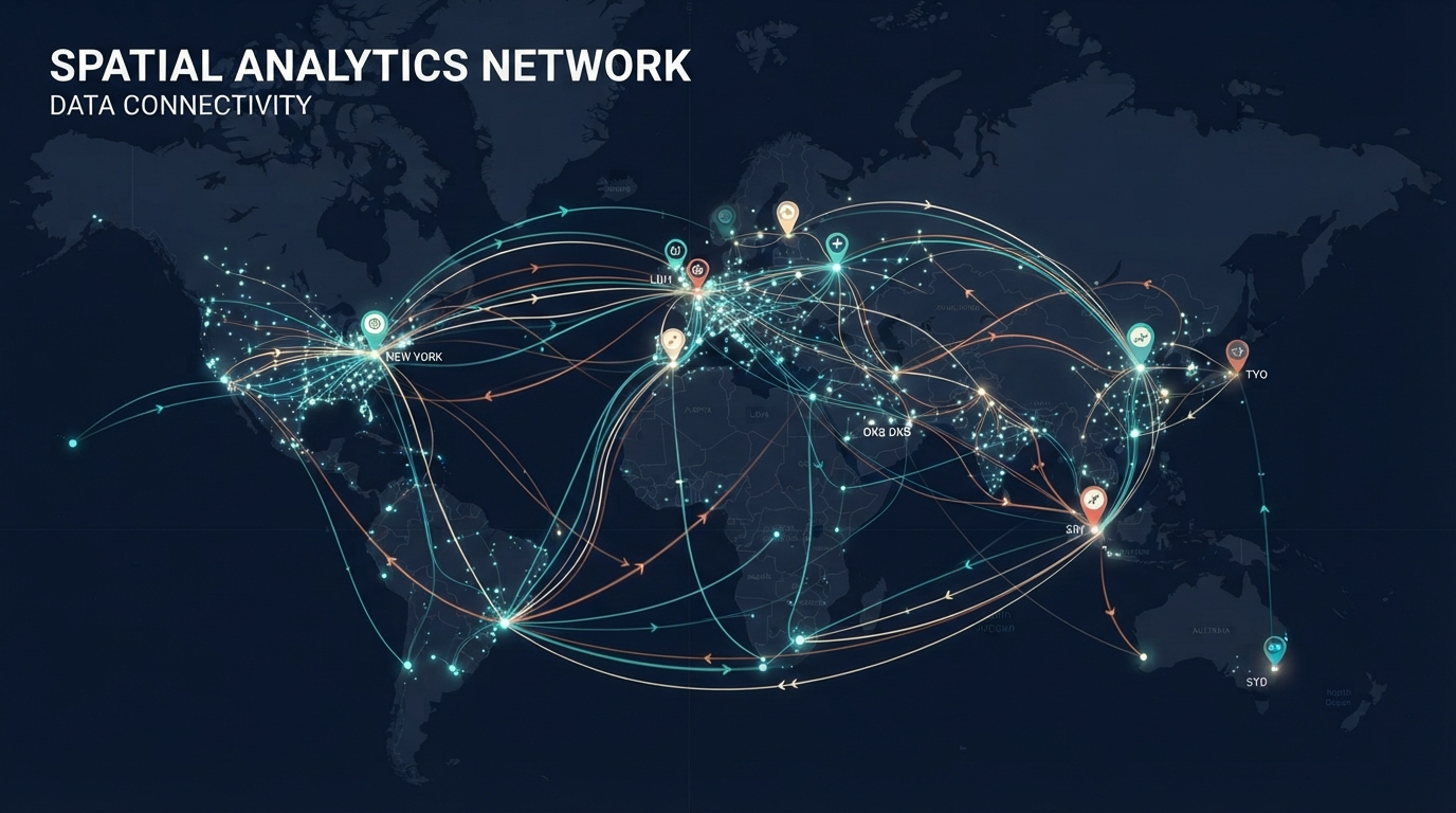
Optimize fleet operations, route planning, and supply chain visibility with real-time geospatial insights.
Fleet Management
Real-time vehicle tracking, route optimization, and predictive maintenance powered by location data.
Last-Mile Delivery
Intelligent routing algorithms, driver assignment, and dynamic ETA calculations for optimal delivery performance.
Supply Chain Visibility
End-to-end tracking of shipments, inventory locations, and distribution networks with geospatial analytics.
Urban Planning & Property
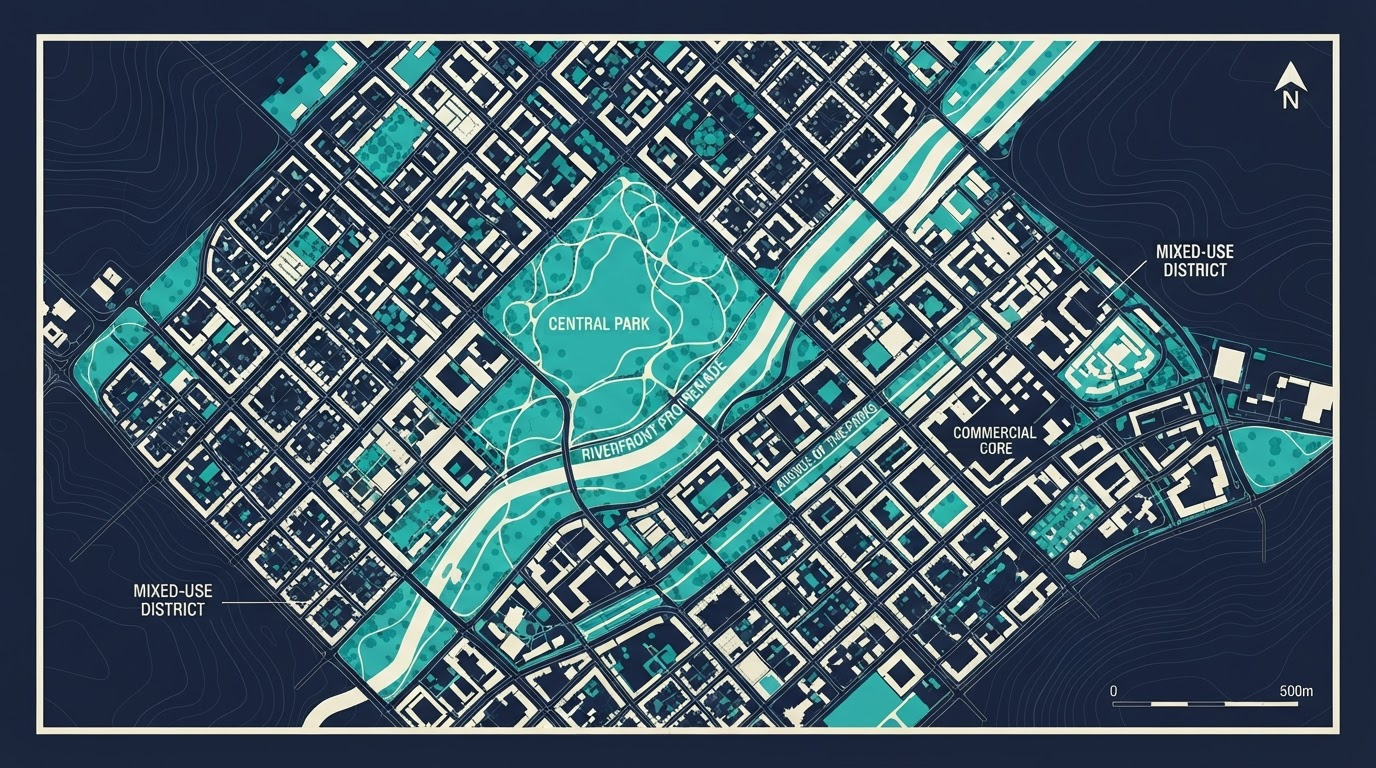
Transform urban development and property management through comprehensive spatial analysis and market intelligence.
Development Planning
Zoning analysis, infrastructure assessment, and land-use planning with demographic and market insights.
Property Analytics
Market valuations, comparable analysis, and neighborhood trends powered by geospatial data.
Asset Management
Track property portfolios, maintenance schedules, and facility locations with geospatial platforms.
Deployment Scenarios
Cloud Deployment
Fully managed cloud infrastructure for rapid deployment and elastic scaling. Pay-as-you-go pricing with enterprise SLAs.
- • Multi-region availability
- • Automatic backups & disaster recovery
- • Auto-scaling based on demand
- • 99.9% uptime SLA
On-Premises Deployment
Complete control with on-premise installation for sensitive data and compliance requirements.
- • Full data sovereignty
- • Air-gapped network support
- • Custom infrastructure integration
- • On-site support available
Hybrid Deployment
Combine cloud and on-premises components for optimal flexibility and performance.
- • Edge processing for latency-sensitive ops
- • Centralized cloud analytics
- • Seamless data synchronization
- • Compliance-aware architecture
API-First Integration
Embed geospatial capabilities directly into your applications via REST and GraphQL APIs.
- • RESTful & GraphQL endpoints
- • SDK libraries for popular languages
- • Webhook support for real-time events
- • Rate limiting and monitoring
Which Solution Is Right for You?
Our solutions team will help you identify the best combination of capabilities and deployment model for your organization.
Start Your Evaluation